Argentina's National Weather Service (SMN) issued storm alerts for ten provinces for Wednesday, November 18, 2026: orange in Chaco, Corrientes, Formosa, Misiones and Santa Fe, and yellow in Córdoba, La Pampa, Mendoza, San Luis and Santiago del Estero, La Nación reported. The orange areas can expect 70 to 120 millimeters of rain, gusts of 90 km/h or more and hail. The alerts run from 8:00 a.m. Wednesday to 5:59 a.m. Thursday, November 19.
The storms come in the middle of an El Niño already regarded as historic. The ONI index, which the US NOAA uses to measure the phenomenon, reached 2.46 °C in the August-October 2026 period, the highest value for those months since records began (1950), and the NOAA Climate Prediction Center gives a strong or very strong event more than a 79% chance through March 2027. That is why Argentines speak of a "Super El Niño." This article gathers the current alerts, what to expect in the coming weeks and how this El Niño compares with those of 1982, 1997 and 2015.
View the data as a table
| ONI Aug-Oct 2026 | 2.46 °C |
| Niño 1+2 (October) | +4.4 °C |
| Chance of a strong event | over 79% |
| Provinces under alert | 10 |
SMN alerts by province on November 18
The SMN uses a color system: orange signals "weather phenomena dangerous to society, life, property and the environment" and asks people to get ready; yellow signals phenomena capable of causing damage that may disrupt activities, and asks people to stay informed. A province appearing on the list does not mean its whole territory is under alert: the department-level detail is on the National Weather Service (SMN) map. Search for your province in the table below:
| Chaco | Orange | 70-120 mm | Gusts of 90 km/h or more, hail |
| Corrientes | Orange | 70-120 mm | Gusts of 90 km/h or more, hail |
| Formosa | Orange | 70-120 mm | Gusts of 90 km/h or more, hail |
| Misiones | Orange | 70-120 mm | Gusts of 90 km/h or more, hail |
| Santa Fe | Orange | 70-120 mm | Gusts of 90 km/h or more, hail |
| Córdoba | Yellow | 30-70 mm | Strong storms, possible hail |
| La Pampa | Yellow | 30-70 mm | Strong storms, possible hail |
| Mendoza | Yellow | 15-40 mm in parts | Strong storms, possible hail |
| San Luis | Yellow | 30-70 mm | Strong storms, possible hail |
| Santiago del Estero | Yellow | 30-70 mm | Strong storms, possible hail |
| Level | Provinces | What it means | What to do |
|---|---|---|---|
| Orange | Chaco, Corrientes, Formosa, Misiones, Santa Fe | Phenomena dangerous to life and property | Get ready |
| Yellow | Córdoba, La Pampa, Mendoza, San Luis, Santiago del Estero | Phenomena capable of causing damage | Stay informed |
| No alert | City and province of Buenos Aires, among others | Isolated rain and hail may occur | Follow the forecast |
Source: National Weather Service (SMN), alert summary published by La Nación. A second La Nación report said hail fell in Buena Vista (Goya, Corrientes) and in northern neighborhoods of Buenos Aires city on Wednesday, even though the capital was not under alert in the summary. Rainfall totals may vary between reports; when in doubt, the official SMN map prevails.
The SMN's recommendations for a storm alert are:
- Follow the instructions of local authorities.
- Stay inside closed buildings and away from doors and windows.
- Secure objects that the wind could carry away.
How strong the 2026 Super El Niño is
The ONI is the three-month average of the sea surface temperature anomaly in the Niño 3.4 region of the equatorial Pacific. NOAA considers El Niño to be present when it exceeds 0.5 °C for several consecutive periods, and an event above 2.0 °C is commonly called "very strong". In 2026 the index went from 0.95 in April-June to 2.46 in August-October. At the same time of year, the 1997 El Niño stood at 2.04 and the 2015 one at 2.02: the current event is ahead of the two most intense on record, as the chart shows.
View the data as a table
| 1982-83 | 1997-98 | 2015-16 | 2023-24 | 2026 | |
|---|---|---|---|---|---|
| AMJ | 0.65 | 0.71 | 1.04 | 0.46 | 0.95 |
| MJJ | 0.73 | 1.13 | 1.19 | 0.73 | 1.39 |
| JJA | 0.78 | 1.48 | 1.44 | 1.00 | 1.80 |
| JAS | 0.99 | 1.79 | 1.73 | 1.25 | 2.16 |
| ASO | 1.45 | 2.04 | 2.02 | 1.50 | 2.46 |
| SON | 1.82 | 2.24 | 2.28 | 1.74 | No data |
| OND | 2.03 | 2.34 | 2.45 | 1.90 | No data |
| NDJ | 2.12 | 2.37 | 2.59 | 1.99 | No data |
The 2026 El Niño versus historic events
Since 1950 there have been ten El Niño events with an ONI of 1.5 °C or more. The record is 2015-16, at 2.59 in November-January, followed by 1997-98 (2.37) and 1982-83 (2.14). The current event is already at 2.46 and forecasts say it will keep rising: the NOAA Climate Prediction Center puts at about 60% the chance that the October-December or November-January ONI reaches 2.5 °C or more, which would place it above every El Niño since 1950 on NOAA's relative index.
| Event | Peak ONI | Peak period |
|---|---|---|
| 2015-16 | 2.59 °C | NDJ 2015 |
| 2026-27 | 2.46 °C | ASO 2026 |
| 1997-98 | 2.37 °C | NDJ 1997 |
| 1982-83 | 2.14 °C | DJF 1983 |
| 2023-24 | 1.99 °C | NDJ 2023 |
| 1972-73 | 1.84 °C | OND 1972 |
| 1965-66 | 1.82 °C | OND 1965 |
| 1957-58 | 1.69 °C | DJF 1958 |
| 1991-92 | 1.54 °C | DJF 1992 |
| 2009-10 | 1.50 °C | NDJ 2009 |
Source: NOAA, ONI index, sea surface temperature anomaly in the Niño 3.4 region (°C), rolling three-month periods; accessed November 18, 2026. The 2026-27 value is the highest so far, not the final peak. The letters stand for the three months averaged: NDJ, for example, is November-December-January.

What to expect from the Super El Niño in Argentina in the coming weeks
The SMN's seasonal forecast for October, November and December, issued on September 30, anticipates above-normal rain with the highest probability in the Litoral region, followed by western Santa Fe, Córdoba, south-central Cuyo, La Pampa, western Buenos Aires and northeastern Patagonia, and below-normal rain in the western NOA, according to Perfil. The SMN warns it is a trend, not a day-by-day forecast.
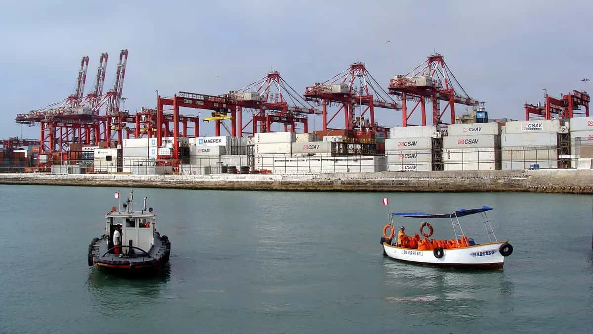
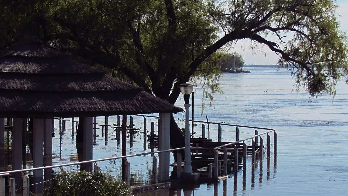
Water falling in southern Brazil, Paraguay and the Litoral also feeds the Paraná River, which is already high: see the Paraná flood and the ports on alert according to the Coast Guard. On the Pacific coast, El Niño hits differently: rain and flooding in northern Peru, as explained in what ENFEN says about the coastal El Niño.
Frequently asked questions
What is the Super El Niño?
It is the informal name for a very strong El Niño, when NOAA's ONI index exceeds about 2 °C. The 2026 event reached 2.46 °C in August-October.
Which provinces are under orange alert today?
On Wednesday, November 18, 2026: Chaco, Corrientes, Formosa, Misiones and Santa Fe, with 70 to 120 mm, gusts of 90 km/h or more and hail, according to the SMN.
How long will the 2026 El Niño last?
NOAA expects strong or very strong conditions at least through January-March 2027, with weakening early that year.
Is it stronger than 2015?
For this time of year, yes: 2.46 °C versus 2.02 in August-October 2015. The 2015-16 peak was 2.59 in November-January; it is not yet known whether the current event will surpass it.
What effect does El Niño have in Argentina?
It usually brings above-normal rain to the Litoral and the northeast in spring and summer, and river floods such as the Paraná's; the western NOA may get less rain.