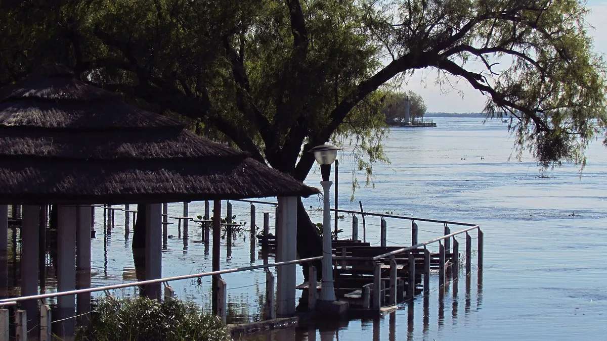
10 ports in Argentina's Litoral region were above their evacuation level and another 9 were on alert in the early-morning readings on Tuesday, November 10, from the Argentine Coast Guard (Prefectura Naval), which measures river heights in the River Plate basin every day. Nine of the ports at evacuation level are on the Paraná River or its branches, from Paso de la Patria (Corrientes) to the city of Paraná (Entre Ríos), where the river read 5.21 m, 21 centimeters above the 5.00 m evacuation level.
Further south, at the port of Santa Fe, the Paraná reached 5.02 m and rose 7 centimeters in 12 hours: it is 28 centimeters below the alert level (5.30 m). The flood, which regional agencies link to El Niño, has lasted for weeks in northeastern Argentina and has already forced thousands of people from their homes in Chaco and Corrientes. This article sums up the Paraná River flood port by port, using official data.
View the data as a table
| Ports above evacuation level | 10 |
| Ports on alert | 9 |
| Height in the city of Paraná | 5.21 m |
| Height in Santa Fe | 5.02 m |
Paraná River flood: the ports at evacuation level
For each port, the Coast Guard publishes the river height on its local gauge, the change since the previous reading and two thresholds: the alert level and the evacuation level. Since each gauge has its own zero, the same height means different things at two ports: what matters is the distance to those thresholds. These are the ports that were above the evacuation level:
| Port | Province | River | Height | Alert | Evacuation | Trend |
|---|---|---|---|---|---|---|
| San Javier (Santa Fe) | Santa Fe | San Javier | 7.96 m | 6.00 m | 6.50 m | rising |
| Isla del Cerrito | Chaco | Paraguay | 7.33 m | 6.20 m | 6.80 m | falling |
| Reconquista | Santa Fe | Paraná | 5.80 m | 5.10 m | 5.30 m | steady |
| Goya | Corrientes | Paraná | 5.96 m | 5.20 m | 5.70 m | steady |
| Barranqueras | Chaco | Paraná | 6.75 m | 6.00 m | 6.50 m | falling |
| Paraná | Entre Ríos | Paraná | 5.21 m | 4.70 m | 5.00 m | rising |
| Esquina | Corrientes | Paraná | 5.56 m | 5.00 m | 5.40 m | falling |
| Hernandarias | Entre Ríos | Paraná | 6.09 m | 5.50 m | 6.00 m | rising |
| Paso de la Patria | Corrientes | Paraná | 7.05 m | 6.50 m | 7.00 m | steady |
| La Paz | Entre Ríos | Paraná | 6.20 m | 5.80 m | 6.15 m | rising |
Source: Argentine Coast Guard (Prefectura Naval), river heights, readings of November 10, 2026 (midnight to 6:00 a.m.). San Javier (Santa Fe), on the river of the same name, a branch of the Paraná, is furthest above its threshold: 146 centimeters. It is followed by Isla del Cerrito (Chaco), on the Paraguay River, and Goya (Corrientes). In Paso de la Patria and Barranqueras, on the Corrientes and Chaco stretch, the river was steady or falling slightly, while in La Paz, Hernandarias and Paraná, downstream, it was still rising.
| Andresito | Normal | 3.20 | -1,030 |
| Puerto Iguazú | Alert | 25.50 | -250 |
| Libertad | Normal | 25.30 | -570 |
| Eldorado | Normal | 19.30 | -570 |
| Libertador | Normal | 14.48 | -102 |
| Puerto Mani | Normal | 7.29 | -271 |
| Santa Ana | Normal | 8.98 | -82 |
| Posadas | Normal | 10.13 | -187 |
| Ituzaingó | Alert | 3.52 | -48 |
| Ita Ibate | Normal | 5.78 | -172 |
| Itatí | Alert | 7.38 | -12 |
| Paso de la Patria | Evacuation | 7.05 | 5 |
| Corrientes | Alert | 6.87 | -13 |
| Barranqueras | Evacuation | 6.75 | 25 |
| Empedrado | Normal | 5.94 | -106 |
| Bella Vista | Alert | 6.34 | -6 |
| Goya | Evacuation | 5.96 | 26 |
| Reconquista | Evacuation | 5.80 | 50 |
| Esquina | Evacuation | 5.56 | 16 |
| San Javier (Santa Fe) | Evacuation | 7.96 | 146 |
| La Paz | Evacuation | 6.20 | 5 |
| Santa Elena | Normal | 6.24 | -101 |
| Hernandarias | Evacuation | 6.09 | 9 |
| Paraná | Evacuation | 5.21 | 21 |
| Santa Fe | Normal | 5.02 | -68 |
| Diamante | Alert | 5.37 | -13 |
| Victoria | Normal | 4.21 | -69 |
| San Lorenzo | Normal | 4.64 | -106 |
| Rosario | Normal | 4.30 | -100 |
| Villa Constitucion | Normal | 3.42 | -108 |
| San Nicolas | Normal | 2.10 | -290 |
| Ramallo | Normal | 2.66 | -134 |
| San Pedro | Normal | 2.07 | -153 |
| Baradero | Normal | 1.85 | -125 |
| Zarate | Normal | 0.93 | -147 |
| Campana | Normal | 0.55 | -190 |
| Escobar | Normal | 0.80 | -270 |
| Canal Nuevo | Normal | 2.06 | -94 |
| Puerto Ruiz | Normal | 2.10 | -290 |
| Ibicuy | Normal | 1.00 | -130 |
| Guazucito | Normal | 1.30 | -110 |
| Martin Garcia | Normal | 0.98 | -402 |
| Tigre | Normal | 0.90 | -290 |
| Dique Lujan | Normal | 0.80 | -200 |
| Chana Mini | Normal | 1.60 | -220 |
| San Fernando | Normal | 0.90 | -260 |
| San Isidro | Normal | 0.90 | -260 |
| Olivos | Normal | 0.80 | -300 |
| Embalse Rio Hondo | Normal | 272.60 | -240 |
| Pilcomayo | Normal | 2.90 | -310 |
| Formosa | Normal | 5.21 | -309 |
| Bermejo | Normal | 5.74 | -126 |
| Las Palmas | Alert | 6.79 | -21 |
| Isla del Cerrito | Evacuation | 7.33 | 53 |
| El Soberbio | Normal | 8.45 | -455 |
| Alba Posse | Alert | 8.40 | -360 |
| Panambí | Alert | 7.65 | -135 |
| San Javier | Normal | 7.36 | -264 |
| Puerto Concepcion | Normal | 9.55 | -795 |
| Garruchos | Normal | 11.42 | -258 |
| Santo Tome | Normal | 10.95 | -155 |
| Alvear | Normal | 8.82 | -218 |
| La Cruz | Normal | 8.59 | -291 |
| Yapeyu | Normal | 7.95 | -255 |
| Paso de los Libres | Normal | 7.02 | -148 |
| Bompland | Normal | 5.94 | -486 |
| Monte Caseros | Normal | 5.12 | -338 |
| Mocoreta | Normal | 8.58 | -342 |
| Federacion | Normal | 2.25 | -195 |
| Federacion Embalse | Normal | 34.50 | -195 |
| Salto Grande Arriba | Normal | 34.42 | -188 |
| Salto Grande Abajo | Normal | 11.34 | -646 |
| Concordia | Normal | 8.15 | -435 |
| Yerua | Normal | 7.84 | -466 |
| La Calera | Normal | 5.64 | -536 |
| Colon | Normal | 4.43 | -347 |
| Concepcion del Uruguay | Normal | 3.50 | -280 |
| Campichuelo | Normal | 3.00 | -330 |
| Gualeguaychu | Normal | 2.10 | -170 |
| Boca Gualeguaychu | Normal | 2.00 | -110 |
| Paranacito | Normal | 1.56 | -104 |
| Buenos Aires | Normal | 0.86 | -304 |
| La Plata | Normal | 0.60 | -220 |
| Braga | Normal | 0.60 | -260 |
| Atalaya | Normal | 0.52 | -248 |

Ports on alert, and how far Santa Fe and Rosario are from the thresholds
Another 9 ports were between the alert and evacuation levels. In the city of Corrientes, the Paraná read 6.87 m, above the 6.50 m alert level and 13 centimeters from evacuation. In Diamante (Entre Ríos), the river was still rising and stood at 5.37 m, with evacuation from 5.50 m.
| Port | River | Height | Alert | Evacuation | Distance to evacuation |
|---|---|---|---|---|---|
| Puerto Iguazú | Iguazu | 25.50 m | 25.00 m | 28.00 m | 250 cm |
| Ituzaingó | Paraná | 3.52 m | 3.50 m | 4.00 m | 48 cm |
| Itatí | Paraná | 7.38 m | 6.80 m | 7.50 m | 12 cm |
| Corrientes | Paraná | 6.87 m | 6.50 m | 7.00 m | 13 cm |
| Bella Vista | Paraná | 6.34 m | 6.00 m | 6.40 m | 6 cm |
| Diamante | Paraná | 5.37 m | 5.30 m | 5.50 m | 13 cm |
| Las Palmas | Paraguay | 6.79 m | 6.50 m | 7.00 m | 21 cm |
| Alba Posse | Uruguay | 8.40 m | 8.00 m | 12.00 m | 360 cm |
| Panambí | Uruguay | 7.65 m | 7.00 m | 9.00 m | 135 cm |
Source: Argentine Coast Guard (Prefectura Naval), river heights, readings of November 10, 2026 (midnight to 6:00 a.m.). Downstream, the flood has not yet reached the thresholds: in Santa Fe the river is at 5.02 m (alert 5.30 m, evacuation 5.70 m) and in Rosario at 4.30 m (alert 5.00 m). In the delta and the River Plate, heights also depend on wind and tides, so the Coast Guard data shows sharp day-to-day swings.
Weeks of Paraná flooding: evacuees in Chaco and Corrientes
The flood peak passed through the northern stretch in October. On October 22, the Pan American Health Organization compiled press reports saying the Paraná and Uruguay floods had forced about 2,300 people from their homes; the Paraná had reached 7.29 meters in Chaco and, in Paso de la Patria, an embankment breach on the night of October 19, with the river at 7.63 meters, flooded three neighborhoods. The same report recorded the deaths of two rural workers on Ibirapitá island, near Bella Vista.
In Chaco, the official report of November 3 listed 2,239 evacuees from 629 households in 12 towns, with Barranqueras, Isla del Cerrito and Puerto Vilelas on red alert, according to Canal 12 Misiones. Since then, the water has moved toward Entre Ríos and Santa Fe, where municipalities opened evacuation centers in the first week of November.
- Oct 19, 2026Embankment breach in Paso de la PatriaWith the river at 7.63 m, three neighborhoods flood.
- Oct 22, 2026About 2,300 people out of their homesThe Paraná reaches 7.29 m in Chaco (PAHO).
- Nov 3, 2026Chaco: 2,239 evacuees629 households in 12 towns; Barranqueras, Isla del Cerrito and Puerto Vilelas on red alert.
- Nov 10, 202610 ports above evacuation levelParaná 5.21 m; Santa Fe 5.02 m and rising.
What the alert and evacuation levels mean
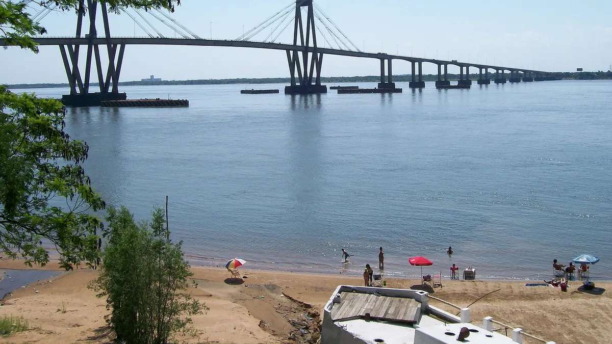
The thresholds published by the Coast Guard are local references: the alert level means water begins to affect low-lying areas, islands and waterfronts, and the evacuation level marks the height above which moving people out of flood-prone areas is recommended. Concrete decisions are made by municipalities and provincial civil defense agencies, which know which neighborhoods go under water at each height.
To follow the Paraná River flood, watch three items in the Coast Guard table: the height, the trend column (rising, falling or steady) and the reading time, because some ports report every two hours and others every twelve. El Niño is also hitting the Pacific coast: see which regions of Peru are at risk according to ENFEN.
Frequently asked questions
How high is the Paraná River in Santa Fe today?
5.02 m in the midnight reading on November 10, 2026, and rising. The alert level is 5.30 m and the evacuation level 5.70 m, according to the Coast Guard.
Which ports are at evacuation level?
Paso de la Patria, Barranqueras, Goya, Reconquista, Esquina, San Javier (Santa Fe), La Paz, Hernandarias, Paraná, Isla del Cerrito, according to the Coast Guard reading of November 10.
Where can I check the river height?
On the Argentine Coast Guard's river heights page, updated several times a day, and in the bulletins of the National Water Institute (INA).
Why is the Paraná rising?
Because of rain in the upper and middle basin, which regional agencies link to this year's El Niño.