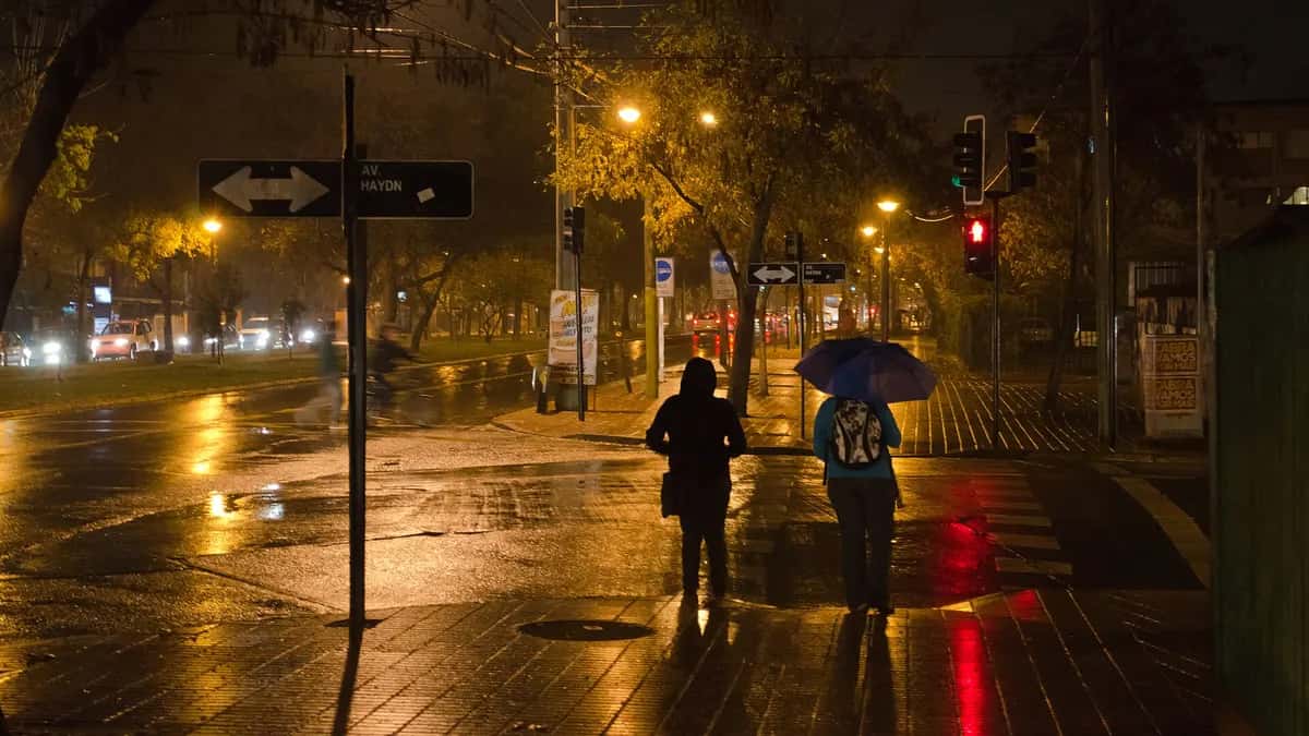
Rain in Santiago arrives in force on Tuesday, October 20, 2026: Chile's Meteorological Directorate (DMC) issued alert AA180-2/2026 at 6:49 a.m. for moderate to heavy rain over a short period, with 25 to 35 millimeters in the Metropolitan Region, according to [Meganoticias](https://www.meganoticias.cl/nacional/534339-alerta-por-lluvias-en-cinco-regiones-cuanta-agua-caera-en-santiago-y-otras-ciudades-de-la-zona-central-20-10-2026.html). The heaviest rain is expected from 4 or 5 p.m. until midnight, according to 24 Horas.
Senapred, the national disaster agency, keeps a red alert in 10 mountain and foothill districts because of the risk of mudslides and landslides, and the government suspended classes in 49 municipalities across four regions. Here is what is known about the frontal system, district by district and hour by hour, with the official figures available at the time of writing.
How much rain in Santiago is expected on Tuesday
The DMC alert covers five regions, from Coquimbo to Maule. These are the forecast amounts by area, as published by Meganoticias from the official notice:
| Region | Coastal range | Valley | Andean foothills |
|---|---|---|---|
| Coquimbo | 15 to 25 mm | 20 to 30 mm (foothill valleys) | 20 to 30 mm |
| Valparaíso | 25 to 35 mm | 25 to 35 mm | 25 to 35 mm |
| Metropolitan (Santiago) | 25 to 35 mm | 25 to 35 mm | 25 to 35 mm |
| O'Higgins | 20 to 30 mm | 30 to 40 mm | 30 to 40 mm |
| Maule | 30 to 40 mm (coast) | 25 to 35 mm | 25 to 35 mm |
Figures are not identical across outlets: 24 Horas reports up to 35 mm in the foothills and up to 30 mm in the Santiago valley. The differences come from the DMC updating its notices during the day. The reference is always the latest bulletin in the DMC climate report.
| Weather in the Metropolitan Region | Forecast |
|---|---|
| Heaviest rain | From 4-5 p.m. until midnight |
| Thunderstorms | Possible throughout the day |
| Hail | Possible, no set time |
| Wind | 25 to 45 km/h, stronger in the afternoon and evening |
Red alert in 10 Santiago districts because of the rain
On Sunday, October 18, Senapred declared a red alert for "possible mass movement" in 10 districts of the capital and lifted the yellow alert that had been in place there, according to Cooperativa. The rest of the Metropolitan Region remains on yellow alert. Deputy Interior Minister Máximo Pavez warned that the system could create conditions similar to those that caused mudslides in the region, according to Emol.
| Districts on red alert (Metropolitan Region) |
|---|
| San José de Maipo |
| Puente Alto |
| Pirque |
| La Florida |
| Peñalolén |
| La Reina |
| Las Condes |
| Lo Barnechea |
| Vitacura |
| Colina |
A red alert allows the state to mobilize all its resources and, if needed, order preventive evacuations near ravines. If you live in these districts, check the Emergency Alert System (SAE) messages on your phone and the official accounts of Senapred and your municipality.
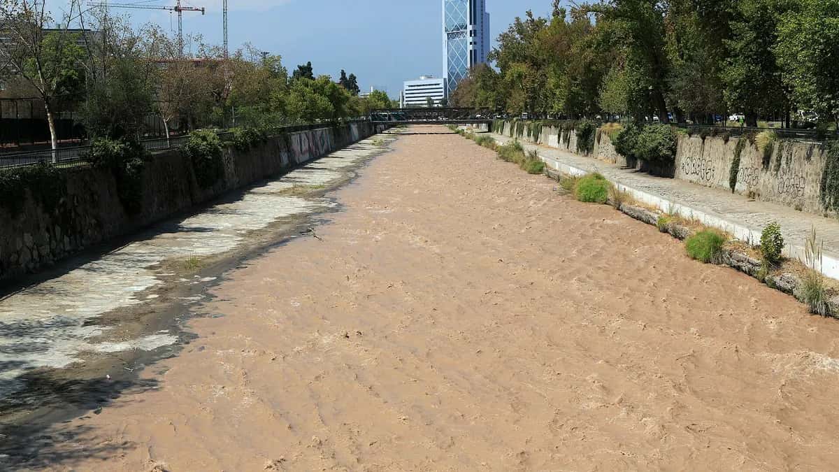
Classes suspended because of the frontal system
The government suspended in-person classes on Tuesday in 49 municipalities across four regions, according to Cooperativa. The measure covers preschools and primary and secondary schools. Press lists do not fully match: some outlets count 48 municipalities and add Taltal, in Antofagasta.
| Region | Municipalities with classes suspended (approx.) |
|---|---|
| Valparaíso | 15 to 16 |
| O'Higgins | 12 |
| Metropolitan | 10 |
| Coquimbo | 10 |
Several Santiago universities also moved to remote classes or relaxed attendance rules, including the Catholic University, the University of Chile, Usach, UDP, UNAB, Santo Tomás, Alberto Hurtado and Universidad de los Andes, according to BioBioChile.
October 2026, Santiago's wettest on record
This system arrives on top of a record-breaking month. By October 15, the Quinta Normal station had recorded 108 mm in October, far above the previous record for the month: 64.8 mm in October 1987, according to DMC data cited by BioBioChile.
| Quinta Normal (Santiago) | Millimeters |
|---|---|
| October 2026 rainfall (to October 15) | 108.0 |
| Previous October record (1987) | 64.8 |
| 2026 total (to October 18) | 340.4 |
| Normal to the same date | 278.4 |
| Normal for a full year | 286.3 |
With 340.4 mm, Santiago has already exceeded what falls in a normal year (286.3 mm), with more than two months to go. The surplus over the normal to date is about 22% (our calculation with DMC figures). Tuesday's rain will add to that total. Meteorologists partly attribute the wet year to El Niño, the same phenomenon that has Peru's northern coast on alert (see what ENFEN says about the coastal El Niño).

What to do during the rain in Santiago
- Stay away from ravines and riverbeds: in red-alert districts, do not approach ravines, canals or river channels.
- Check roofs and gutters before the afternoon, when the peak of rain and wind is expected.
- Do not cross flooded streets on foot or by car: water can hide drops and open manholes.
- Charge your phone and keep a flashlight handy in case of power cuts.
- Plan your trip home: the peak coincides with the evening rush hour. If you can, work remotely or leave early.
The frontal system is part of the same event for which the government declared a preventive climate emergency from Coquimbo to Biobío, in force until October 23 (see what the preventive climate emergency means). Some forecasts anticipate another front on Friday the 23rd, with no official notice yet. We will update this article if the DMC or Senapred change their alerts.
Frequently asked questions
What time will the rain be heaviest in Santiago today?
According to forecasts cited by 24 Horas, the peak will run from 4 or 5 p.m. on Tuesday, October 20, possibly until after midnight.
How many millimeters will fall in Santiago?
The DMC alert forecasts 25 to 35 mm in the Metropolitan Region, in the valley, the foothills and the coastal range.
Which districts are on red alert?
San José de Maipo, Puente Alto, Pirque, La Florida, Peñalolén, La Reina, Las Condes, Lo Barnechea, Vitacura and Colina, because of the risk of mass movement.
Are there classes on Tuesday, October 20?
Not in 49 municipalities of Valparaíso, O'Higgins, the Metropolitan Region and Coquimbo, where the government suspended in-person classes. Check with each school or the Education Ministry.
Is this Santiago's wettest October?
Yes. By October 15, Quinta Normal had 108 mm, against the previous record of 64.8 mm in October 1987, according to the DMC.